Crop Monitoring
UAVs can capture repeatable aerial imagery to support crop observation across fields and growing cycles.
Agriculture · Cleaning · Cargo · Consumer UAV Solutions
Use drones to support precision agriculture workflows including crop monitoring, field mapping, aerial data collection and targeted field operations. AeroSightX helps agricultural projects match UAV platforms, sensors and application systems to specific farm and crop requirements.
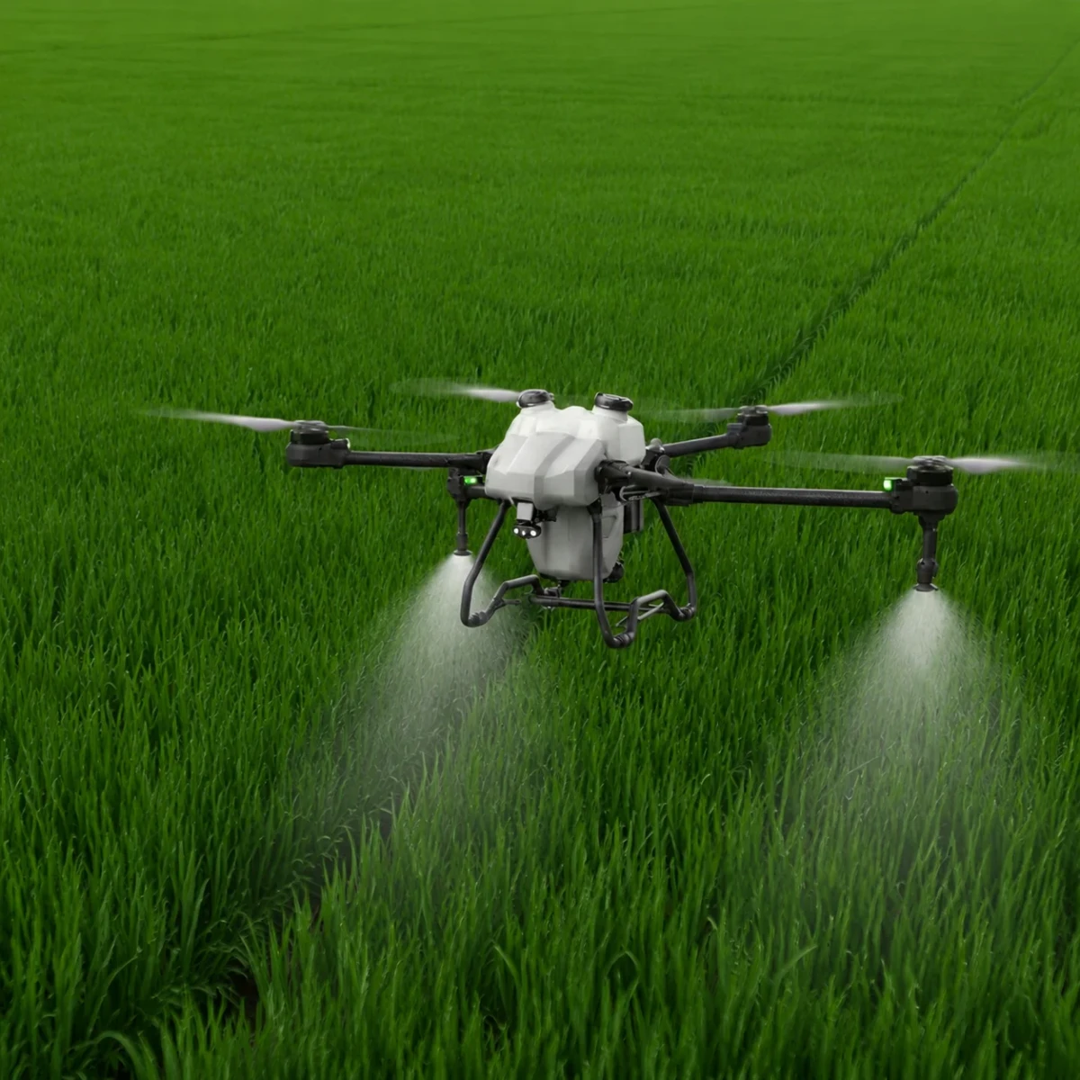
Connected agricultural workflows
Precision agriculture connects repeatable field observation and spatial data with practical planning and targeted operations.
UAVs can capture repeatable aerial imagery to support crop observation across fields and growing cycles.
Drone-based mapping can provide field-level spatial data for planning, measurement and repeatable agricultural surveys.
Camera and sensor payloads can collect visual or other mission-specific field data for downstream analysis and decision-making.
Agricultural UAVs can connect field observations with operational workflows such as targeted spraying, spreading or other crop-management activities.
Explore crop spraying →From observation to action
The workflow begins with evidence and planning. Application equipment enters only after the field requirement has been defined.
Capture field and crop conditions with suitable UAV sensors.
Organize aerial data by field, location or mission area.
Review collected data to identify areas requiring closer attention or further action.
Define routes, treatment areas, application requirements or follow-up missions.
Use the appropriate agricultural UAV or field equipment for the required operation.
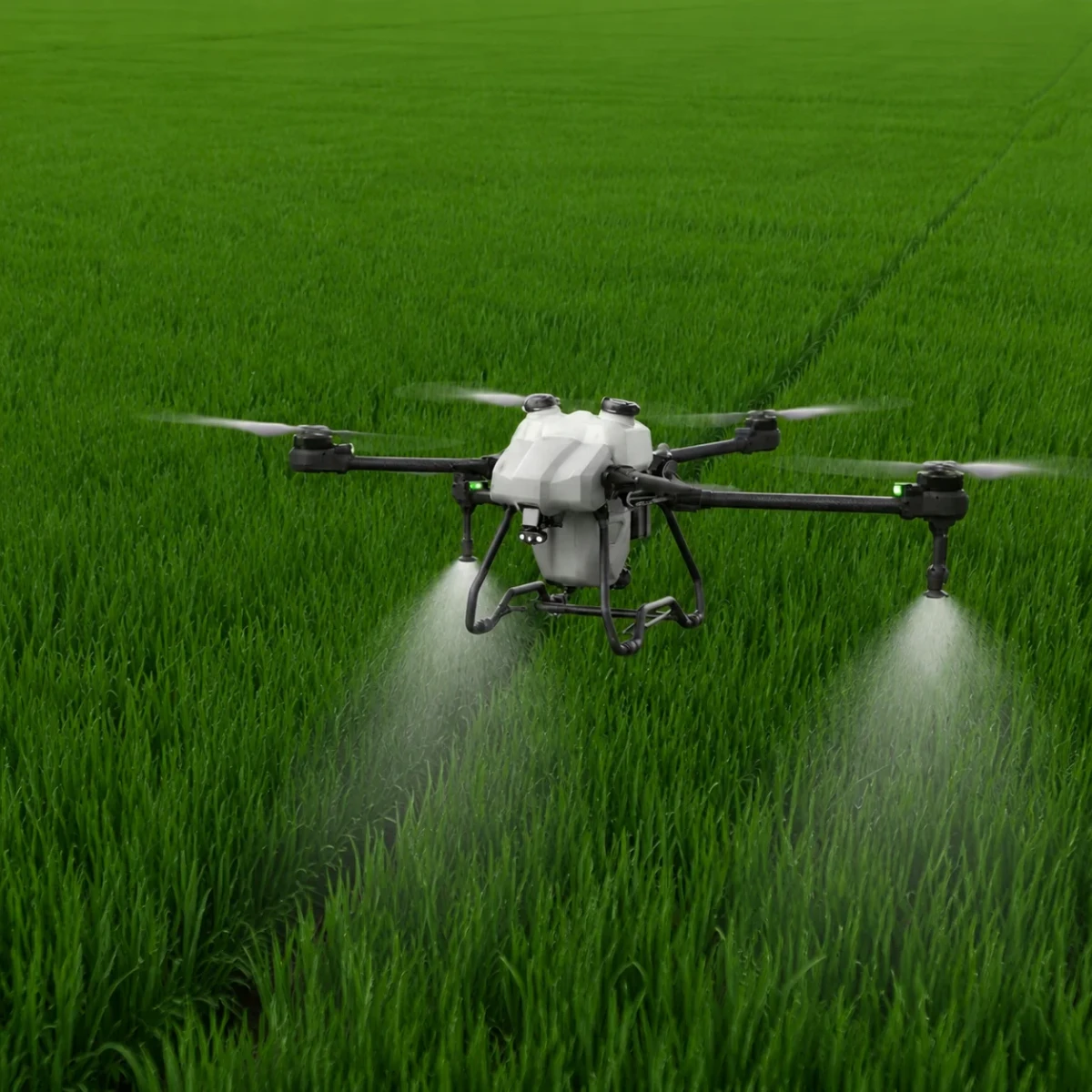
Sensors & payloads
Payload selection should begin with the information or field operation the project requires—not with the aircraft alone.
For a real field-management reference, review the Jianshe Farm smart field management case. Mission-specific integrations can be discussed through our custom UAV program.
Operation-layer platforms
These agricultural UAVs support the operation stage of a precision agriculture workflow after the mission and application requirements are defined. Compare broader specifications in our agricultural drone range.
 HV50High-capacity agricultural platform for spraying and spreading operations where larger field throughput is required.View HV50 specifications →
 XJ-A20Compact agricultural UAV platform for spraying and configurable field operations across small and medium farms.View XJ-A20 specifications →
 XJ-A30Medium-capacity agricultural platform for larger fields, contractors and configurable spraying or spreading workflows.View XJ-A30 specifications →
Planning a purchase? Review the factors in our agricultural drone price guide.
Agriculture solution hub
Continue from data collection and planning to the appropriate platform, field operation or practical guide.
Frequently Asked Questions
Understand how aircraft, sensors, field data and application systems fit into a practical precision agriculture workflow.
Visit the FAQ pageA precision agriculture drone is a UAV used within data-driven farming workflows such as crop monitoring, field mapping, aerial data collection and targeted field operations. The aircraft may carry different cameras, sensors or application systems depending on the mission.
Drones can support precision agriculture by collecting repeatable aerial data, mapping fields, monitoring crop conditions and supporting planned field operations. The appropriate workflow depends on the crop, field size, required data and operational objective.
Depending on the payload, agricultural drones can collect visual imagery, mapping data and other sensor-based field information. The usefulness of the data depends on sensor specifications, flight conditions, collection methods and downstream analysis.
Precision agriculture UAVs may use RGB cameras, mapping cameras, multispectral sensors or other mission-specific payloads. Sensor selection should be based on the information required rather than the aircraft alone.
Yes, but the required UAV and payload configuration may differ. Monitoring and mapping missions focus on collecting field data, while spraying and spreading missions require application systems designed to carry and distribute liquid or granular materials.
An agricultural spraying drone is specifically configured to apply liquid products over crops. Precision agriculture is a broader workflow that can include crop monitoring, mapping, data collection, planning and targeted field operations. Spraying drones can therefore form one part of a precision agriculture system.
Plan the complete workflow
Tell us the crop, field size, data requirement, intended operation, payload needs and destination market. We can help review the appropriate UAV, sensor and application-system configuration.
Crop · Field Size · Data · Sensors · Operation · Quantity
Request a Precision Agriculture ReviewWe use necessary cookies to operate this site and optional cookies to improve your experience.