Initial Scene Assessment
Establish an aerial overview before assigning closer observation routes or ground access.
Agriculture · Cleaning · Cargo · Consumer UAV Solutions
Rapid Aerial Awareness
Configure an emergency response drone around the information the field team needs: close-range visual detail, thermal observation, broad-area reconnaissance or longer monitoring from a controlled launch point.

Mission Context
Emergency teams need an aircraft, payload and control link matched to the area, visibility, access conditions and decisions being made on the ground.
Establish an aerial overview before assigning closer observation routes or ground access.
Use a compatible thermal payload where heat-source visibility is relevant to the response plan.
Hover or reposition around a defined area when operators need closer visible-light observation.
Use a VTOL fixed-wing platform when the mission covers a larger area or extended route.
Configure compatible communication payloads to support temporary elevated connectivity or information relay where required by the response plan.
Use tethered UAV configurations for longer fixed-position observation, temporary aerial lighting or communication support around designated response areas.
Emergency Scenarios

Support aerial scene assessment, thermal observation and wider-area reconnaissance around suitable fire and wildfire incidents.
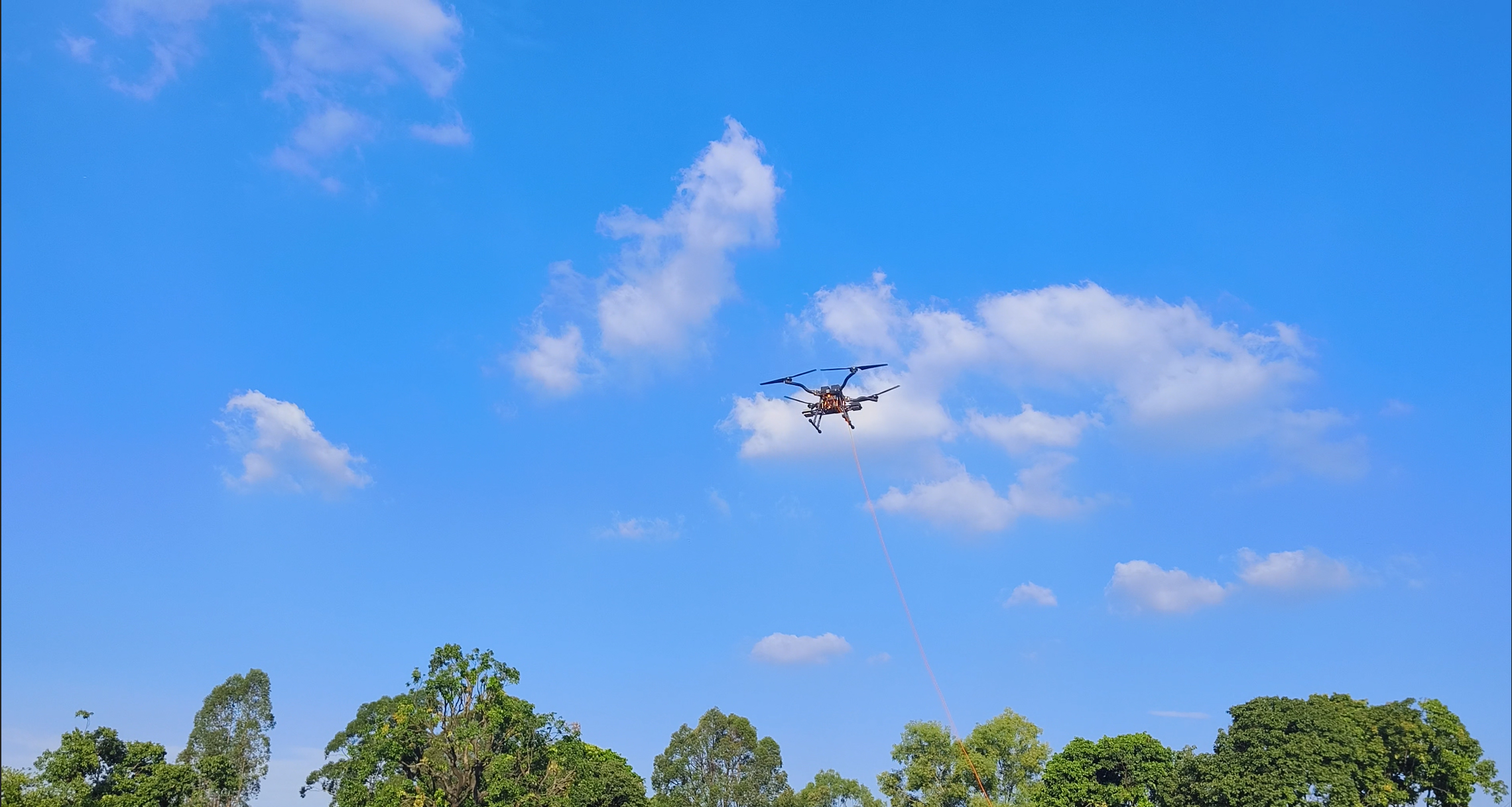
Provide aerial observation across difficult terrain and support teams with visual, thermal or location-related information according to the mission configuration.
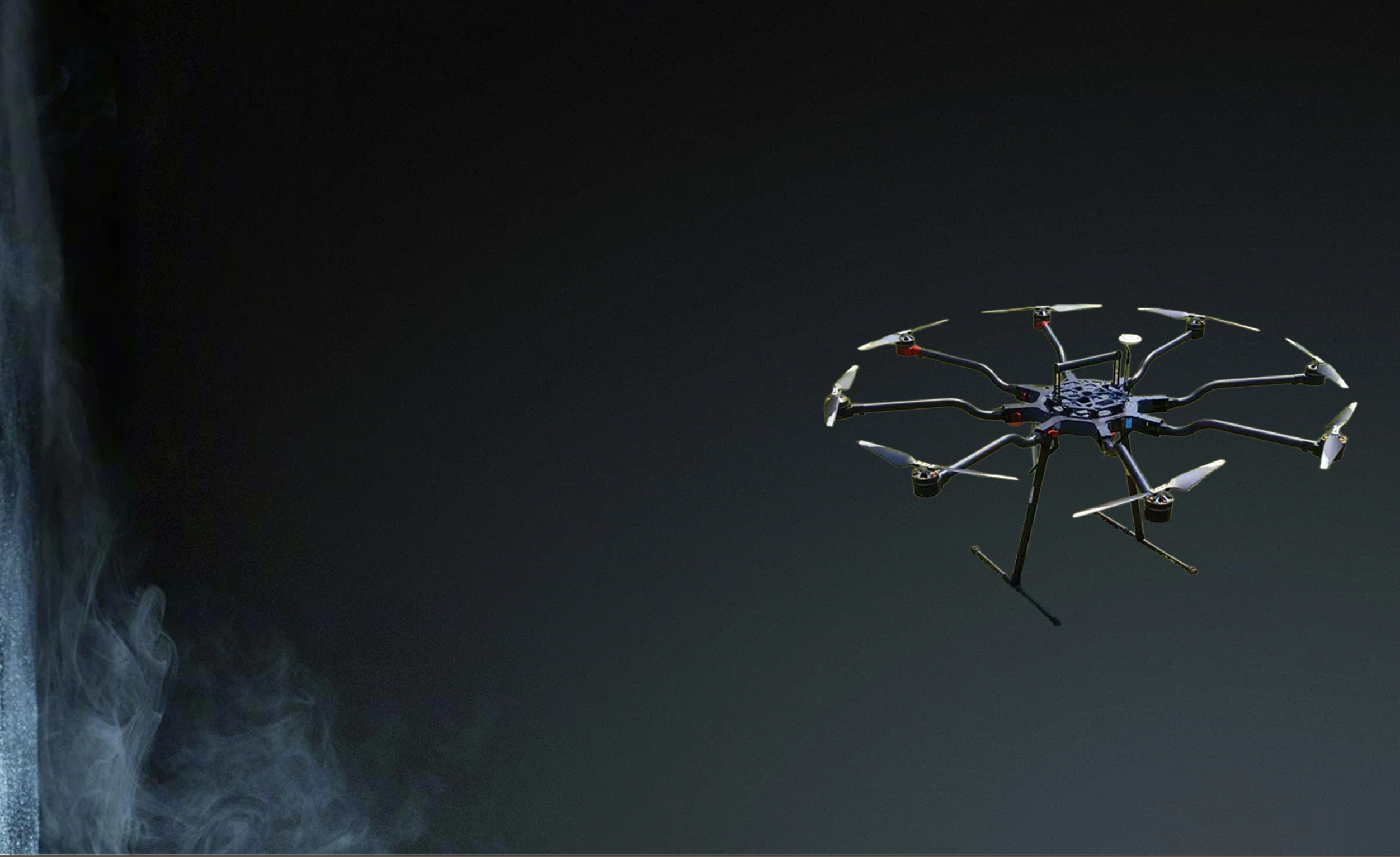
Capture aerial information after floods, earthquakes, landslides or other events where ground access may be limited.

Extend aerial observation across mountainous or difficult-to-access terrain using suitable multi-rotor or VTOL platforms.
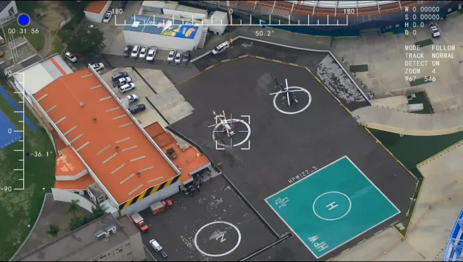
Support aerial assessment around industrial facilities, infrastructure and other controlled emergency-response areas.
Need to transport emergency supplies? Explore Cargo Delivery →
Configuration Risks
Aircraft selection should follow the response objective. Payload, flight reserve, visibility, access, terrain, communication and data handoff all affect the practical configuration.
Define what operators must see, locate or document.
Thermal, zoom and multi-sensor payloads change usable flight time.
Match hovering flexibility or wider coverage to the incident area.
Plan communications, reserve, return procedures and safe recovery.
Smoke, low light, wind and other environmental conditions affect sensor selection and practical flight planning.
Confirm a suitable launch, recovery and contingency area before defining the operating procedure.
Platform Comparison
Compare the mission role first, then confirm payload, communication and operating configuration.

Close-Area Assessment
Visible-light, thermal and laser-ranging options for close observation around defined incident areas.
View XJ-8A →
Extended Aerial Observation
Up to approximately 80 minutes of loaded hover for longer multi-rotor observation missions.
View XJ-H4A →Wide-Area Reconnaissance
VTOL platform for larger incident areas, route-based observation and remote terrain.
View XJ-TR1 →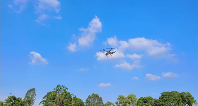
Persistent Monitoring & Communication
Tethered UAV for monitoring, lighting, communication and environmental sensing, with at least 12 hours of tethered operation.
View XJ-XLA →See the complete inspection and long-endurance UAV range.
Deployment Workflow
State what the aerial team must observe or document.
Choose visible-light, thermal, zoom or multi-sensor payload requirements.
Balance hovering control, endurance, payload and coverage.
Confirm launch, communications, reserve, recovery and data handoff.

Frequently Asked Questions
Review incident types, sensors, aircraft classes, persistent monitoring and field-planning requirements.
View More FAQs →Emergency response drones can support rapid scene assessment, visible-light and thermal observation, wide-area reconnaissance, persistent monitoring and other aerial information-gathering tasks. The appropriate UAV depends on the incident area, terrain, payload, required endurance and communication conditions.
UAVs can support suitable fire and wildfire response, search and rescue, natural-disaster assessment, remote-area incidents and industrial or infrastructure emergencies. The aircraft and sensor configuration should be selected according to the information required by the response team.
Yes. Compatible UAV platforms can carry thermal cameras where heat-source observation is relevant to the response plan. Detection performance depends on the thermal sensor, operating conditions, distance, environment and interpretation of the captured imagery.
VTOL fixed-wing UAVs can be suitable for larger incident areas and longer reconnaissance routes because they combine vertical takeoff with efficient forward flight. Multi-rotor platforms may be more appropriate where hovering and close-area observation are required. Explore the XJ-TR1 VTOL UAV.
Compatible UAV and tethered-drone platforms can carry communication-related payloads when temporary elevated connectivity or information relay is required. The configuration should be reviewed according to payload weight, power, interface, coverage and communication requirements. Review the XJ-XLA tethered platform.
Tethered UAV systems can support longer fixed-position monitoring by receiving continuous power from ground equipment. AeroSightX's XJ-XLA tethered platform is specified for at least 12 hours of continuous tethered operation, depending on the final configuration and operating conditions.
Key factors include the incident type, required information, coverage area, terrain, visibility, sensor payload, flight endurance, communication conditions, launch and recovery access, contingency procedures and required data handoff.
Emergency Mission Review
Share the incident type, observation objective, area, terrain, required payload, expected flight duration and communication conditions. AeroSightX can review a suitable standard or customized UAV configuration.
Incident · Area · Payload · Visibility · Endurance · Communication
Discuss Your Emergency UAV MissionWe use necessary cookies to operate this site and optional cookies to improve your experience.